
The Kirat hills between the Arun and the Mechi
Long before the kingdom of Nepal existed, these hills were Kirat land. Rai communities lived mainly in the middle hills, the region often called Khambuwan or Majh Kirat, and the Limbu in the far east, Limbuwan or Pallo Kirat, east of the Arun. Limbuwan was traditionally divided among ten chiefdoms. Each people kept its own languages, clans, priests and oral traditions, gathered in the Mundhum.
In the late 18th century the Gorkhali state of Prithvi Narayan Shah expanded east and brought the Kirat hills into the new kingdom. Limbu chiefs kept a degree of local authority for many decades under the kipat system of communal land, though later reforms eroded it. In the 18th century the Limbu scholar Te-ongsi Sirijunga revived and taught the Limbu script, which is still named after him.
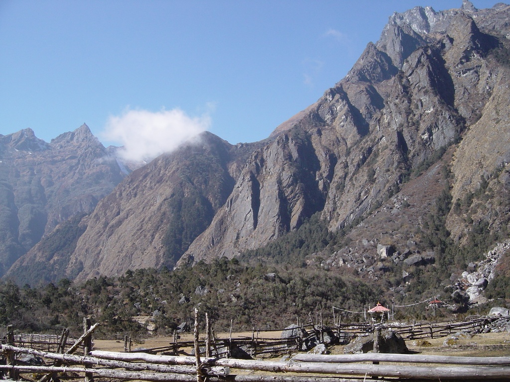
The modern east grew with tea, roads and soldiers. Tea was planted in Ilam in the 1860s. Men from these hills joined the Gurkha regiments of the British and Indian armies, and their pensions built houses across Dhankuta and Dharan. Roads arrived late: the Dharan–Dhankuta highway was completed in 1982, and many valleys toward Kanchenjunga and Makalu have been reached by jeep only in the last two decades.
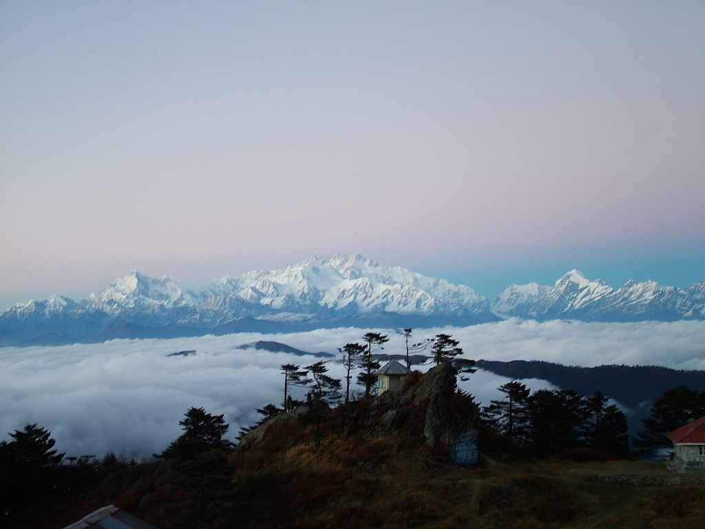
Conservation came too. Makalu Barun National Park was created in 1992, and the Kanchenjunga Conservation Area in 1997. In 2006 the management of Kanchenjunga was handed to a council of local people, one of the first such handovers in Nepal. Since 2015 the region has formed part of Koshi Province, with its capital at Biratnagar.






.jpg)