Trade roads, kings, quakes and a flood
For centuries the valleys north of Kathmandu were corridors to Tibet. The Bhote Koshi route through what is now Syabrubesi and Rasuwagadhi linked the Kathmandu Valley with Kerung, today's Gyirong, carrying salt and wool south and grain and goods north. Peoples on both sides of the border shared language and religion: the Hyolmo and Langtangpa speak Tibetic languages close to the speech of Kyirong, and Buddhist teachers moved freely between valleys regarded as beyul, hidden lands blessed by Guru Padmasambhava.
Whoever held the routes held power. In 1744 Prithvi Narayan Shah of Gorkha seized the hill fort of Nuwakot from the Malla king of Kathmandu, built his seven-storey palace there and used it as the base for the conquest of the valley in 1768 and 1769. In 1792 Qing Chinese armies came down the Bhote Koshi as far as the hills above Nuwakot. In 1855 Nepal built the Rasuwagadhi fort on the border during its war with Tibet.
In the 20th century the region opened to the world on foot. Swiss development workers introduced cheese-making to Langtang in the 1950s; Japanese climbers made the first ascent of Manaslu in 1956; Langtang became Nepal's first Himalayan national park in 1976; the Manaslu Conservation Area followed in 1998; and Tsum opened to trekkers in 2008. Tamang and Hyolmo villages built lodges and homestays, and Langtang became one of Nepal's most popular treks.
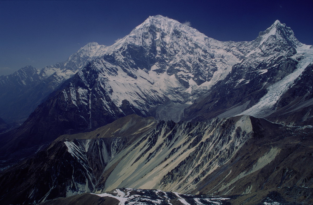
Then came disaster, twice. On 25 April 2015 the Gorkha earthquake triggered an avalanche that buried Langtang village and killed hundreds. On 26 August 2026 a glacier collapse near Langtang Lirung sent a flood over 100 km down the Bhote Koshi and Trishuli, destroying the border crossing, much of Syabrubesi and hydropower plants, with heavy loss of life. The people of Rasuwa and Nuwakot rebuilt once, and are rebuilding again.